Accurate Azimuthal Equidistant Map
The REAL Flat Earth Map - Used by UN, Military, and Aviation
🎯 About This Map:
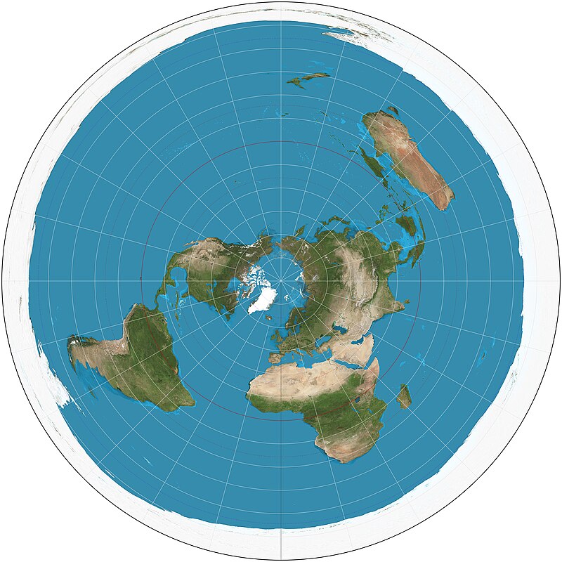
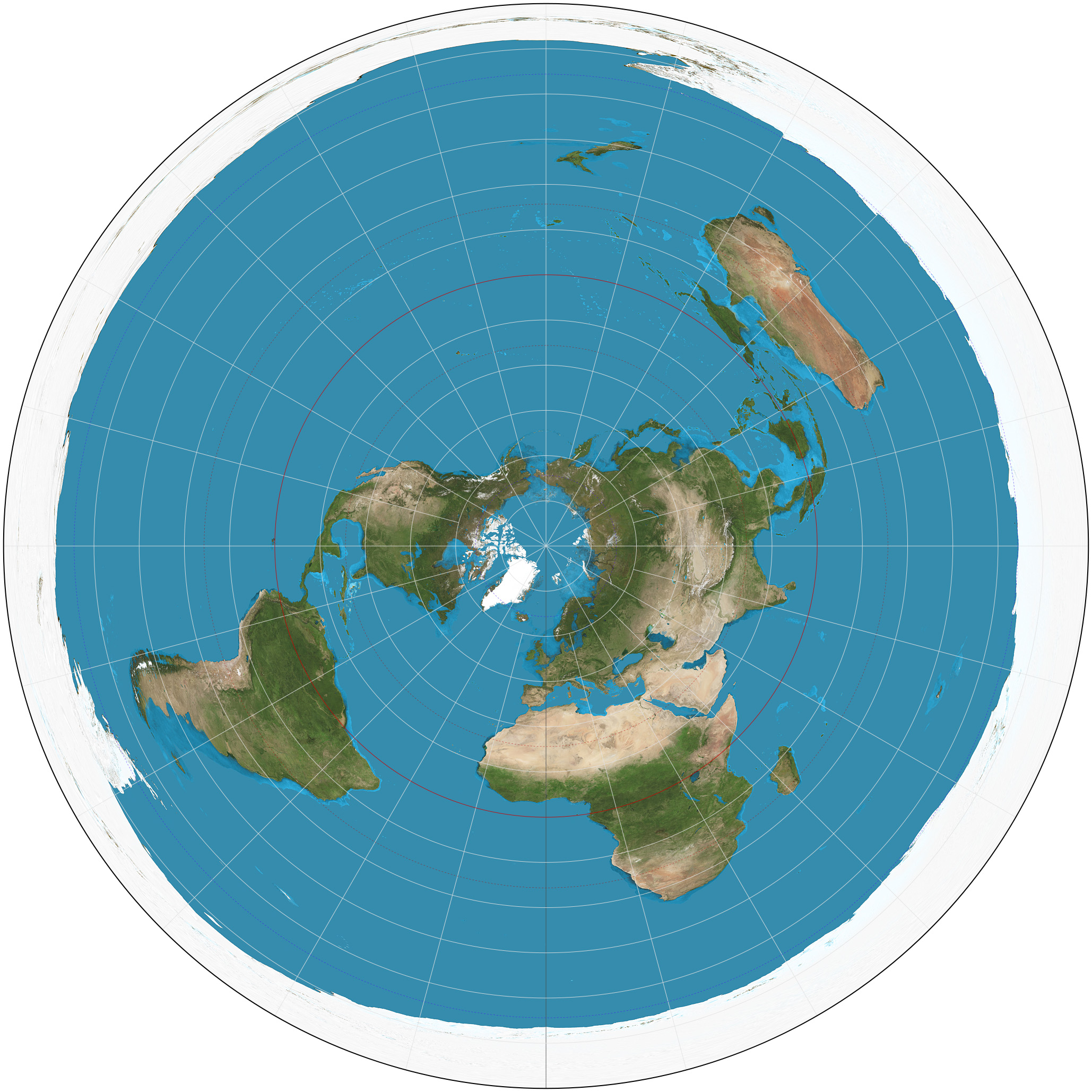
This is the ACTUAL high-resolution Azimuthal Equidistant projection - the same map used by the United Nations as their official logo. All distances and directions from the North Pole (center) are accurate. Notice how flight paths make perfect sense on this map!
🎮 Controls:
• Click and drag to pan around the map
• Use mouse wheel or buttons to zoom
• Click Cities to see major world locations
• Use Measure tool to verify distances
🔍 What to Notice:
• Antarctica forms the outer ice wall boundary
• No edge-to-edge flights exist in Southern Hemisphere
• Emergency landings always follow flat earth routes
• Distances match real-world measurements from North

