Twelve observable contradictions of the globe model.
Each entry below references a phenomenon you can test yourself or replicate from documented experiments. None require trust in a satellite, a textbook, or an institution.
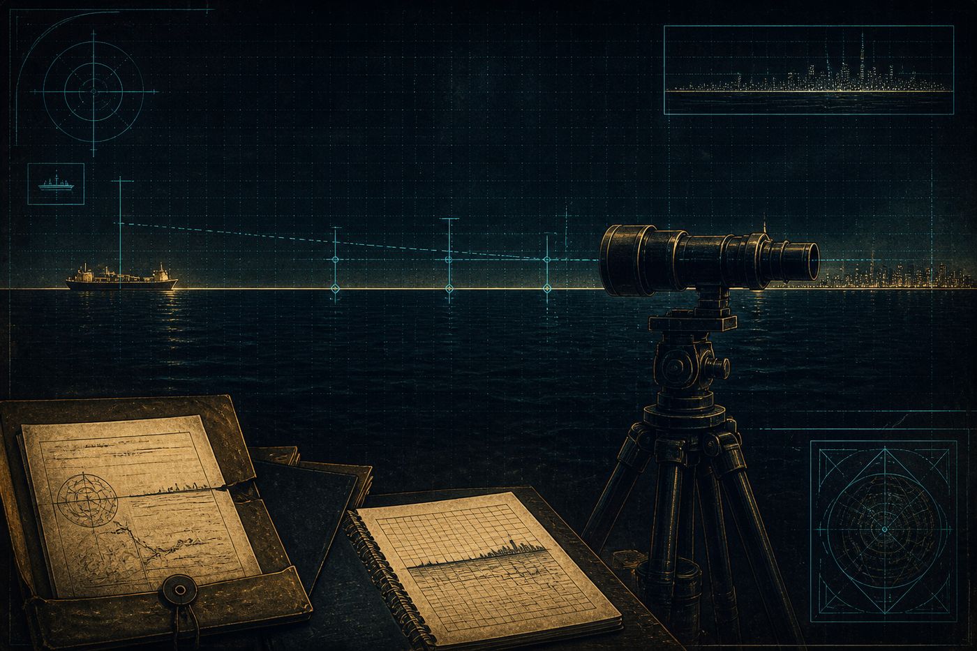
The twelve proofs are arranged from simplest (no equipment, eyes only) to most technical (requires basic instruments). Each links to either an experiment, a calculator, or a separate file documenting the historical record.
Proof 01 — The horizon rises to eye level.
Stand on a beach. Climb a mountain. Take a commercial flight at 35,000 ft. In every case, the horizon rises to meet your eye. On a sphere of 3,959-mile radius, the horizon should drop progressively below eye level as altitude increases — a measurable angle of dip that pilots are taught to expect but in practice cannot detect at standard cruise altitudes. The horizon stays flat and stays at eye level.
This is the single most-experienced and least-discussed observation in modern aviation. Document it yourself with a string and a level on your next flight.
See: aircraft attitude indicators, Samuel Birley Rowbotham, Earth Not a Globe, 2nd ed. 1881.Proof 02 — Bodies of water remain level over distance.
The Bedford Level Experiment, conducted by Rowbotham in 1838 along a 6-mile straight stretch of the Old Bedford River in England, established that water surfaces do not curve. A flag at the far end remained visible at the height predicted by a flat surface, not the ~6-foot drop predicted by sphere geometry over that distance.
The experiment was replicated in 1870 by Alfred Russell Wallace (who arranged it to refute Rowbotham and ended up confirming the original measurement, then disputing the interpretation), and again in modern reproductions documented on video.
Use the visibility calculator to compute predicted drop for any distance and observer height.Proof 03 — Long-distance landmark visibility.
The Chicago skyline is regularly visible from across Lake Michigan at distances of 50–60 miles. On a globe with 3,959-mile radius, the bottom 1,400 feet of the skyline should be hidden behind the curve from a standard observer height of 6 feet. The Sears Tower is 1,450 feet. We should see only the spire. We see the entire skyline, including the lower floors.
The official explanation is "atmospheric refraction." The phenomenon's frequency and consistency — same conditions, same result, year-round — exceeds what refraction alone can plausibly account for.
Joshua Nowicki, time-lapse photography of Chicago skyline from Warren Dunes, 2015.Proof 04 — Ships can be brought back into view by zoom.
The standard "ships disappear hull-first" demonstration is the most-cited visual proof of curvature. It is also reversible. Apply a high-powered telephoto lens (300mm+) and the "vanished" hull comes back into view. If the ship were physically below a curve, no amount of magnification would recover it. The behavior is consistent with the resolution limit of the human eye and atmospheric perspective compression — not curvature.
Videos demonstrating this exist on every video platform; search "ship telephoto horizon."
Proof 05 — Polaris remains fixed; everything rotates around it.
Polaris sits at the celestial north pole and does not move during the night, the season, or the year. Time-lapse photographs of the Northern Hemisphere sky show every other star tracing perfect circles around it. On the heliocentric model, Polaris is approximately 433 light-years away and the Earth wobbles on a 23.5° tilt while orbiting the sun at 67,000 mph — yet Polaris appears to never deviate from a single point.
The flat-plane model places Polaris directly above the geographic North Pole / center of the disk. The celestial dome rotates around that axis. The observation matches without requiring any of the auxiliary assumptions.
Proof 06 — The Southern Cross is visible from points the globe model says it shouldn't be.
If Earth were a sphere, observers in different southern locations (Australia, South America, southern Africa) would see Crux at significantly different positions. In practice, the constellation remains in roughly consistent relative position across all southern observation points — consistent with a celestial dome over a flat plane, less consistent with a curving sphere where line-of-sight should diverge significantly.
Proof 07 — Sunlight is local, not parallel.
Crepuscular rays — the visible "sunbeams" piercing through clouds — diverge from a point. The point is the sun, and on photograph after photograph it is visibly close — within the atmosphere, not 93 million miles away. Parallel rays from a distant source would produce parallel beams; we observe radial divergence consistent with a closer, smaller sun.
Confirmed in any clear-sky cloud-break photograph.Proof 08 — Sunset is selective, not symmetric.
At sunset, the sun appears to physically shrink and travel away into the distance — eventually disappearing not by going below a curve, but by retreating to the horizon and out of sight. High-magnification footage shows the sun maintaining its full disk size right up until the moment of disappearance, then reduced laterally — consistent with perspective, not occultation by a curve.
Proof 09 — The Antarctic Treaty restricts independent travel.
The 1959 Antarctic Treaty, signed by 54 nations, prohibits independent crossing of latitude 60° South. Tourism is permitted only via approved operators following established routes. The continent is the only one on Earth where private exploration is restricted by international agreement. This is documented fact, not interpretation. The question is why.
See File 004 — Admiral Byrd for context on Operation Highjump (1947) and the subsequent treaty.Proof 10 — High-altitude balloon footage shows a flat horizon.
Amateur high-altitude weather balloons routinely reach 100,000–120,000 ft and capture footage of the horizon. With non-fisheye lenses, the horizon appears flat. With fisheye lenses (standard on GoPro action cameras), the horizon curves up and down depending on tilt — clear evidence the "curvature" seen in many such videos is lens distortion, not actual curve.
Proof 11 — Cavendish's gravity experiment is methodologically suspect.
Henry Cavendish's 1798 torsion-balance experiment, used to derive the gravitational constant G and therefore Earth's mass and density, has never been independently replicated to its claimed precision under properly-controlled conditions. The original apparatus was sensitive to electrostatic effects, air currents, and observer bias. Modern "replications" use upgraded equipment that nonetheless shares the same fundamental assumption: that the small lateral attraction observed is gravitational and not electromagnetic, vibrational, or environmental.
Proof 12 — NASA admits the "blue marble" is composite.
Every iconic photograph of the spherical Earth from space released since 1972 is a composite — assembled from multiple satellite passes, with color enhancement, geographic feature reconstruction, and cloud-layer overlay. NASA confirms this on the record. The 1972 Apollo 17 photograph remains the only claimed single-frame full-disk image. It has been digitally analyzed and shows several features inconsistent with a single capture. Composites are not evidence; they are illustrations.
None of the above "proves" the Earth is flat.
Each proof, individually, is a phenomenon that the standard heliocentric model has trouble accounting for without additional auxiliary assumptions (refraction, lens distortion, observer error). Cumulatively, when twelve independent observations all require ad hoc adjustments to fit one model and fit a different model without adjustment — that is a signal worth investigating.
The point is not to prove flatness. The point is to demonstrate that the official model has more cracks than the public is told.